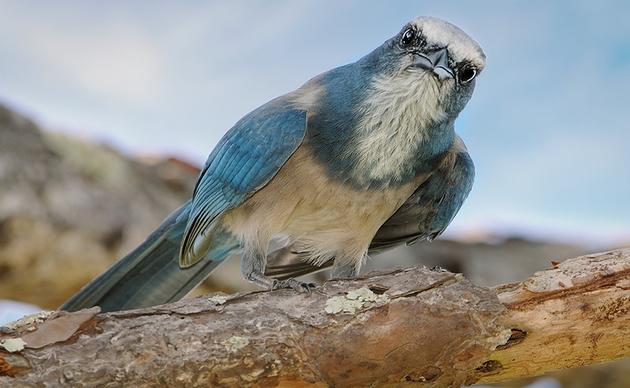
Last fall, Audubon Florida’s EagleWatch program launched a brand new, interactive map detailing eagle nests across the state. Now, volunteers, stakeholders, and interested birders can see the nests closest to them, and learn how to protect this iconic species.
The EagleWatch program works closely with the Florida Fish and Wildlife Conservation Commission (FWC) to document and map Bald Eagle nest locations in Florida. However, while the FWC maintains a nest map for the state, data and locations may be a few years out-of-date due to their lengthy internal process for updating the map. Recognizing the need to have a more current map of nest locations for EagleWatch nest monitors to reference, former EagleWatch Program Manager Reinier Munguia created a Google Map of nest locations in 2015, incorporating data from the FWC’s map but also including new nests and relocations.
“The early version was simply a static map showing nest locations but contained no underlying data or information for the nests,” explains current EagleWatch Program Manager, Shawnlei Breeding. The nest data was maintained in a separate database accessible only by volunteers.
Inspired by a more interactive nest map created by the Center for Conservation Biology for the state of Virginia, Breeding began to imagine what a real-time nest map tool could mean for Florida.
“As the Program Manager, I field a constant stream of requests for underlying nest information, both from our volunteers and from the general public.”
EagleWatch volunteers collect a treasure trove of data on the nests they monitor, including nest status (active, inactive, gone), fledgling success, and notable disturbances nearby. How could the Center for Birds of Prey team make all this available for users at a click of a button?
Breeding worked with the National Audubon Enterprise Technology Team to migrate the nest information from the previous EagleWatch map and database to a new interactive map that was created using ArcGIS software by ESRI.
Today, Breeding shares the public map not only with volunteers but also with key stakeholders that work together to protect Florida’s Bald Eagle population.
In addition to state and federal wildlife agencies, power and communication companies consult the map when making management and construction decisions. This critical resource would be impossible without dedicated EagleWatch volunteers.
“Because the map is interactive and is linked to the underlying monitoring data,” Breeding says, “Volunteers are directly responsible for providing the information that maintains an up-to-date map resource for our program and for external users.”